| Missouri Cemeteries formerly: Central Missouri Cemeteries Locate/Protect/Preserve our Pioneer Cemeteries |
| Links | Home
| Contact
Us |
+ Larger Font | - Smaller Font |
|

|
|
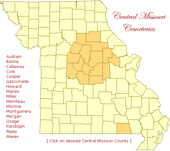
| The source of the cemeteries represented on the maps accessed above are taken from USGS-GNIS data and reflect only Latitude and Longitude determined by that Federal Agency. See the 'Mapping' item on the menu bar near the top of this page to find out 'How To' create one for your own website. The button bearing 'Missouri Cemeteries' in the right side-bar contains location data for approximately 5400 cemeteries scattered throughout all 114 counties of Missouri and can produce a cemetery location map for virtually every county in Missouri. |
|
"Show me the manner in which a nation cares for its dead, and I will measure with mathematical exactness the tender mercies of its people, their respect for the laws of the land and their loyalty to high ideals." - William Gladstone
|
|
©2003 Central Missouri Cemeteries |
©2003 Central Missouri Cemeteries - all rights reserved. This website and all information contained therein, is the intellectual property of the Central Missouri Cemeteries and is protected under all federal and international copyright laws. All information on this website may be used by individuals for their own personal use, libraries and genealogical societies; however, commercial use of this information is strictly prohibited without prior written permission. The images and maps contained on this website and derivatives thereof, may not be placed upon any website other than that of Central Missouri Cemeteries or included on any other publication without express written permission of the webmaster/owner. Copying of this website and the information contained hererein is forbidden without express written permission from the webmaster/owner. If copied by permission, this copyright notice must appear with the information.
Missouri Cemeteries formerly: Central Missouri Cemeteries (c)2003-2010 |